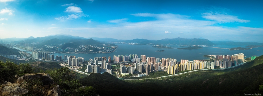
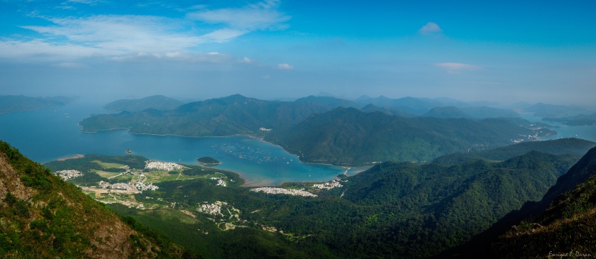
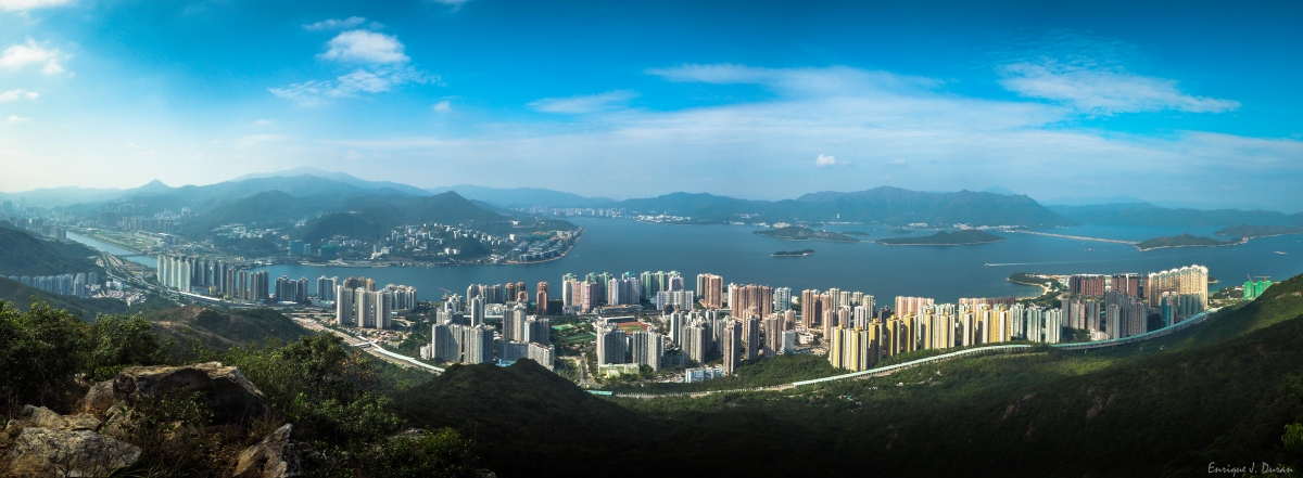
Ma On Shan 馬鞍山 is a saddle-shaped peak in east of Tolo Harbour in the New Territories of Hong Kong. With a height of 702 metres, it stands among the ten highest mountains in Hong Kong. The mountain borders Sha Tin and Tai Po districts.
This hike is one of the most challenging and reach to the peak has a great reward: AMAZING landscapes. But actually, no need to reach to the top of the mountain to really enjoy of these panoramic views. All the trail offers stunning views of the area: Ma On, Sai Kung, Sharp Island,…so all the effort on this hike will be rewarded with different panoramic views, breathtaking panoramic views…
Recommended for this hike a comfortable shoes with good grip, sun block, a lot of water and long pants.
HOW TO GET THERE
To get there take MTR to Ma On Shan Station exit B. The fastest way is to take a taxi from there to the BBQ site. Walk up to the BBQ site from MTR will take more than an hour and is all way up. Save energy for this hike would be essential.
HIKING AROUND
From the BBQ site find the indications to the Family Walk. Below is the route chosen for this hike:
Family Walk > Tiu Shau Ngam > 馬鞍山(馬鞍頭) > MacLehose Trail sec. 4 > Ngong Ping viewpoint > Ma On Shan Country trail > Tai Shui Tseng > Walk to Sai Kung Pier & take a bus back.
–The beginning:
A tough section up to the first peaks before the highest. All the hike up has a steep slope and only the last part of the section is sheltered. Narrow trail full of branches and trees. A section with a climbing part & a rope attached to the rocks (easy, no need the rope unless is wet with slippery slope)
Views up to the first little peak. From here can see Ma On Shan town, the Plover Cove Reservoir (right side), Pat Sin Leng Country Park (just in front), Tai Mo Shan (left side)

–Continuing to the highest peak:
Leaving behind these amazing views, the highest peak is visible after. There is a shortcut and the next peak can be bypassed through a bushy trail on the right side. I didn’t notice of this bypass, just once I saw other hikers taking it instead of climbing up. But worth to climb all the peaks for stunning views like these and the most important reason, we are hikers not tourists

–The highest peak:
The highest peak is not so tough as the first peaks. The views of Sai Kung on the left side encourage you to the summit.
Views ahead from the top:

The way down is through MacLehose Trail sec. 4. The views along the trail are simply gorgeous.


Reaching to the Ngong Ping viewpoint

From this point to Tai Shui Tseng is all way down and just need to follow the indications.


